XPENG Brings Google into the Car: Intuitive Navigation with a Familiar XPENG User Interface
XPENG L03 SUV coupé is the first XPENG model with integrated Google Maps SDK
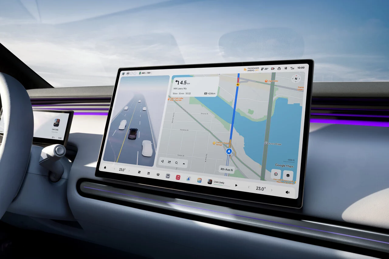
Intelligent navigation with up-to-date data and XPENG user interface
XPENG is the first automotive manufacturer in the Asia-Pacific region with this Google Maps integration
jpg
Neuer XPENG L03 integriert Google Maps
Munich/Samstagern, 10 September 2026 – With the new SUV coupé L03, XPENG is integrating Google Maps into its vehicles for the first time. Through the Google Maps SDK, XPENG uses up-to-date map data and information from Google Maps as the basis for its own navigation experience. The L03 (combined energy consumption 15.3 - 18.4 kWh/100 km; combined CO₂ emissions 0 g/km; energy efficiency category: B/C, combined values according to WLTP, subject to final homologation) is already available to order and will arrive on Swiss roads later this year.
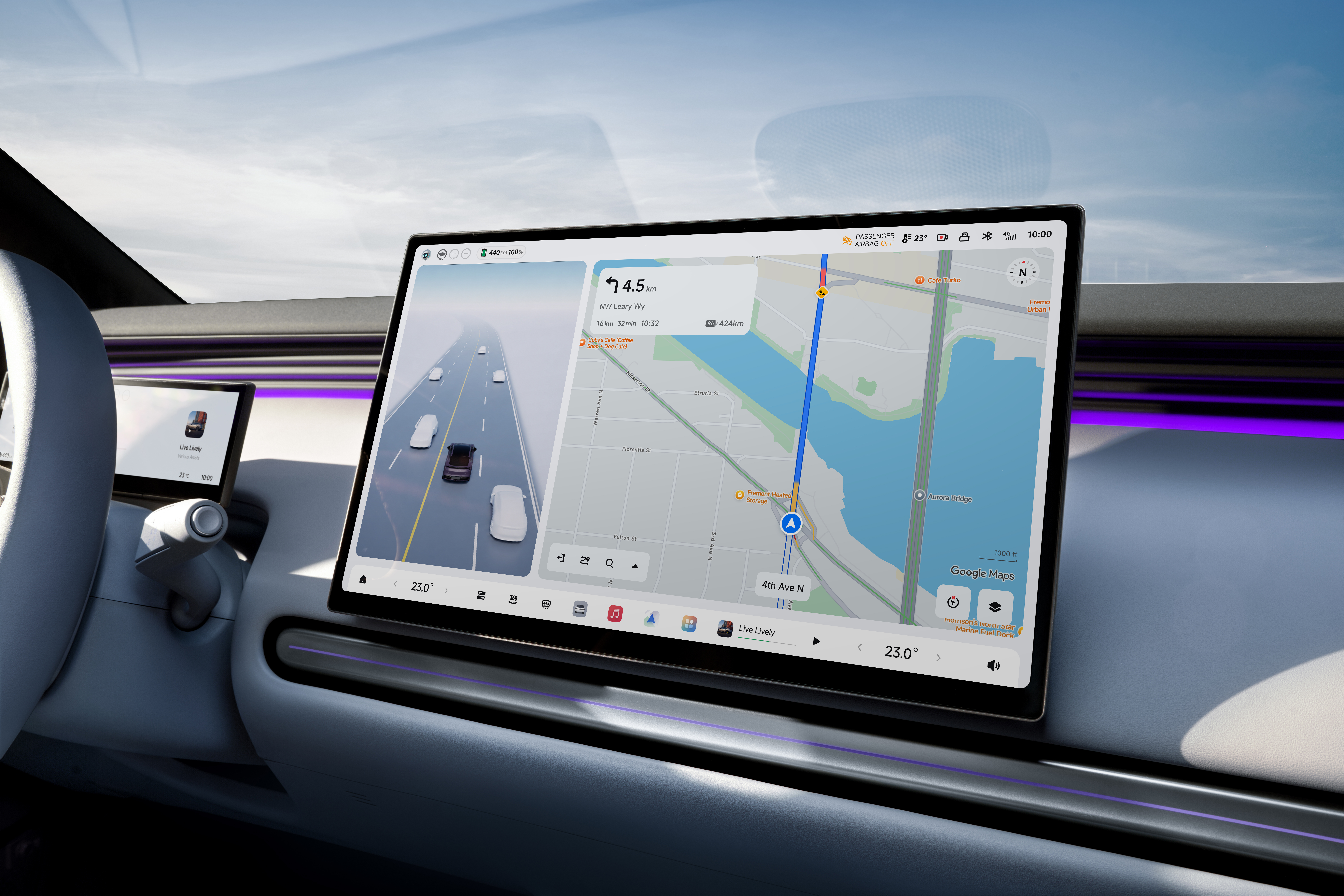
The Google Maps SDK combines up-to-date map data and information from Google Maps with XPENG's own navigation. This provides current traffic information, precise map data and extensive information about places along the route. Google Maps offers coverage that is almost worldwide and is continuously updated.
The integration enables a navigation experience tailored to the driver. For example, the system takes the current traffic situation into account and can adjust routes accordingly in the event of congestion or stop-and-go traffic. In addition, the system displays the expected energy consumption for different routes. Taking the remaining range into account, it suggests suitable charging points along the route. The dynamic display also shows the lane required at any given time, making it easier to merge and turn.
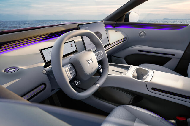
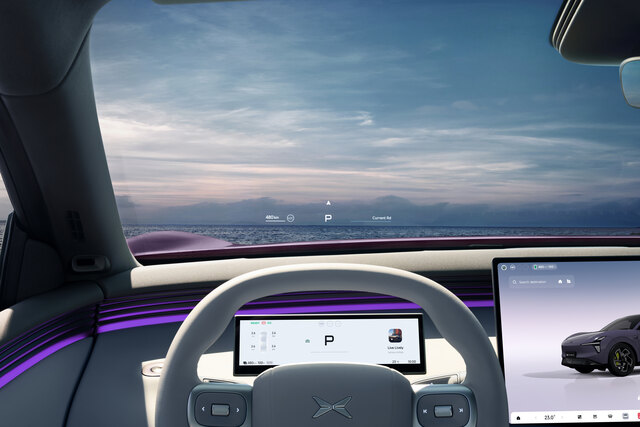
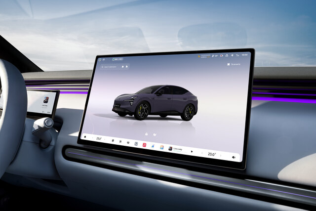
These functions do not require either the Google Maps app or smartphone mirroring. Display and operation continue to be handled via the XPENG user interface and the familiar controls. These include the large-format displays, including the 26.8-inch head-up display in the XPENG L03 and the central touchscreen.
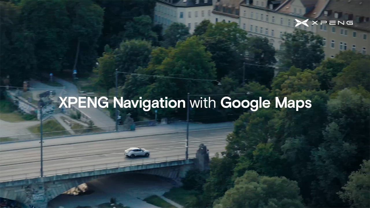
XPENG Navigation mit Google Maps
“More than two billion users access Google Maps every month. We are pleased to now make our industry-leading technology available to even more drivers in Europe and other markets,” says Jorgen Behrens, VP/GM of Google Maps Automotive. “In less than a year, XPENG has successfully introduced a redesigned navigation experience that seamlessly combines the company’s distinctive design with our navigation expertise.”
Navigation data as the basis for Next Generation Pilot
The integration of Google Maps also supports the further development of Next Generation Pilot (NGP), which is scheduled to be used in the XPENG L03 next year, subject to the legal framework. Based on the Vision-Language-Action system (VLA 2.0), the system enables partially automated driving at Level 2++. Up-to-date map and navigation data are an important prerequisite for global rollout. Google Maps provides the relevant map and navigation data for this purpose.
A new entry into the XPENG family: With the XPENG L03 (combined energy consumption 15.3-18.4 kWh/100 km; combined CO2 emissions: 0 g/km; energy efficiency category: B/C – combined values according ...
Curtain up for the new XPENG L03 (combined energy consumption 15.3-18.4 kWh/100 km; combined CO2 emissions: 0 g/km; energy efficiency category: B/C – combined values according to WLTP, subject to f...
XPENG makes the switch to electromobility even more attractive: With the XPENG L03 (combined energy consumption 15.3-18.4 kWh/100 km; combined CO2 emissions: 0 g/km; energy efficiency category: B/C...
Receive exclusive news
Are you a journalist or do you work for a publication? Sign up and request access to exclusive news.